The app thatsaves fawns
WildRescue brings farmers, fawn rescuers, hunters and associations together during the mowing season — from the mowing date to the documented rescue, out in the field on your phone.
Free · no ads · works without signal
Available for Android and iPhone
- Servers in Germany
- GPS record of every search
- Works offline in the field
- GDPR-compliant
Fawns are saved in the field, not at a desk
WildRescue is first and foremost an app for when you’re out and about: accept the operation, walk the field, record the find, clear the field for mowing — in wet boots, at half past four in the morning, often without signal. The browser is for what comes afterwards: reports, members, administration.
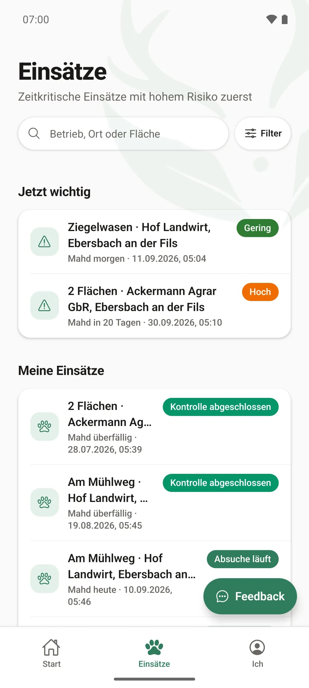
All operations at a glance
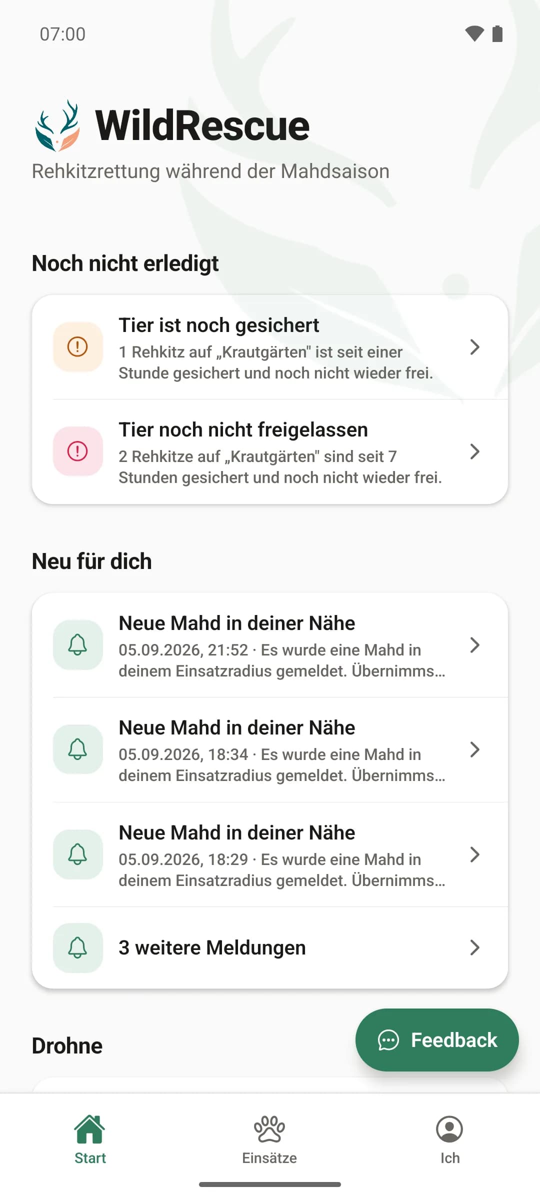
Upcoming mowings with farm, location, field and date — the traffic light shows where fawns are most likely. One tap to take it on, and the farmer sees straight away who is coming.
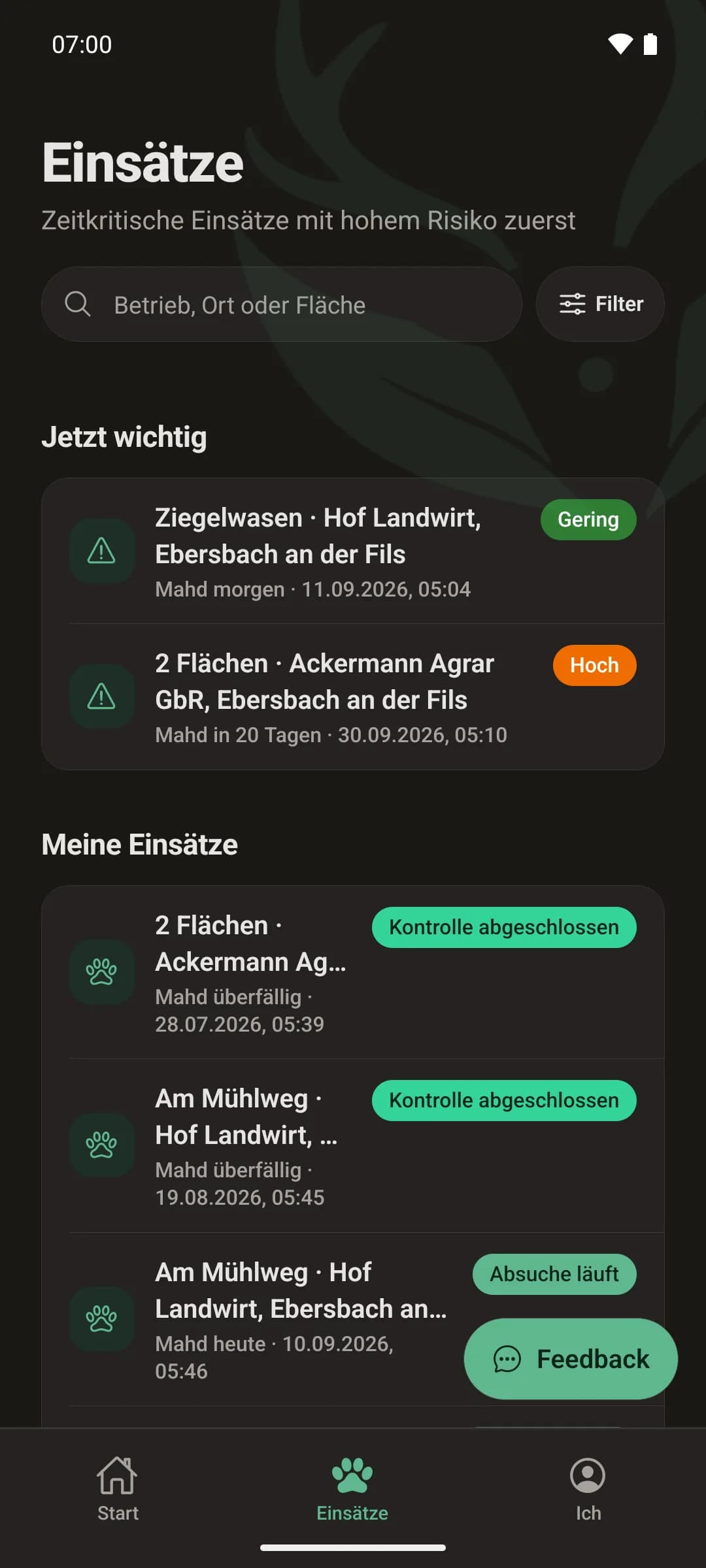
Available for Android and iPhone
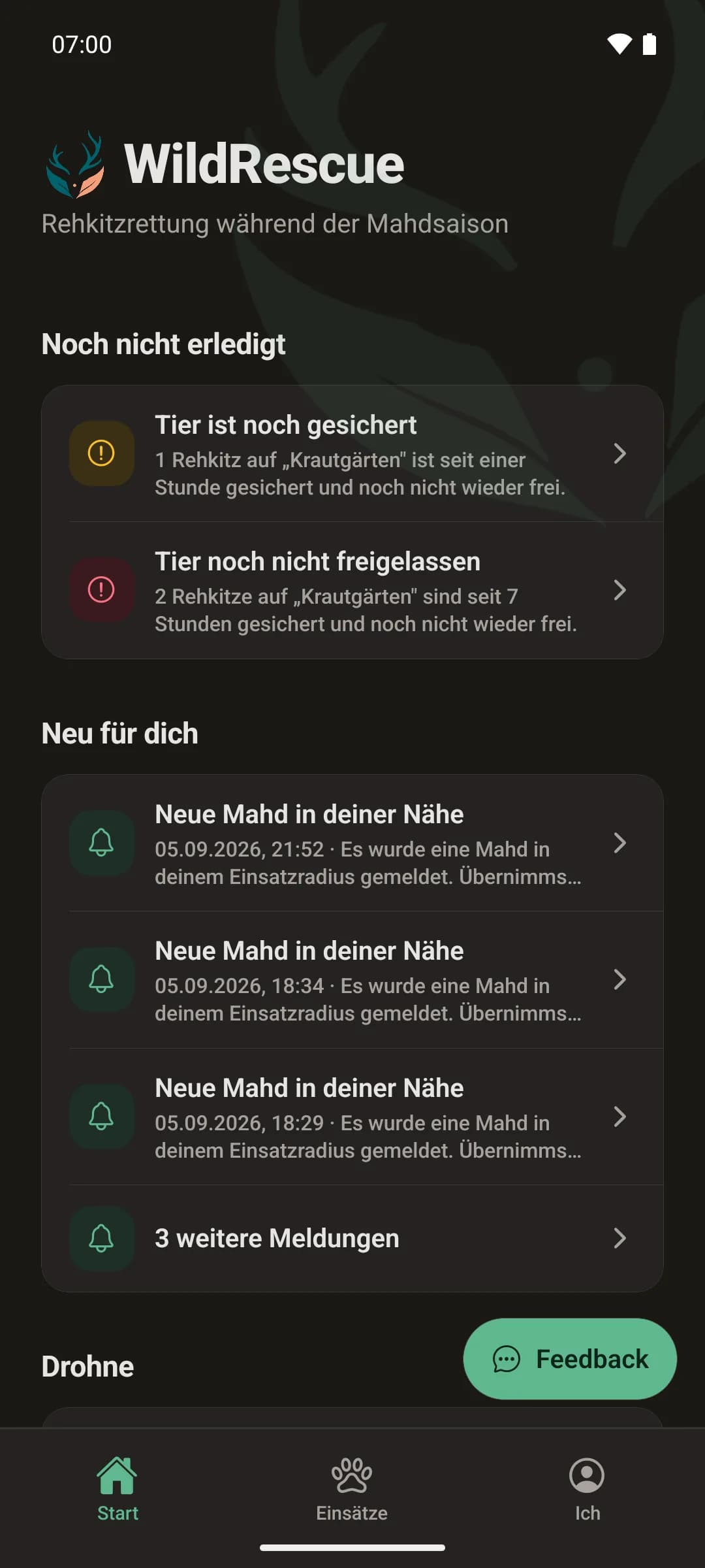
The app is in both stores and ready to download — free of charge, no ads. At your desk, carry on in the browser with the same account.
From mowing date to all-clear — in four steps
Each step automatically lets the people who are next know.
Report the mowing
Tap the field on the map, set the day and time — even from the tractor.
Find helpers
Suitable rescuers nearby are invited and accept with a single tap.
Search the field
The app records the search path by GPS and logs finds — even without signal.
Clear for mowing
The farmer sees the all-clear straight away — with proof of what was searched and when, and until when it is safe to mow.
What changes with WildRescue
The mowing season is short and hectic. That is exactly when organising must not eat up time.
WhatsApp groups, phone lists and notes on the fridge.
One date, everyone informed
The mowing date is entered once — everyone sees the same, up-to-date picture.
“Who’s free tomorrow morning?” — twenty phone calls the evening before.
The right helpers, automatically
People who live nearby and are available get invited. Replies come together in the app.
“Was the meadow really searched?” — a matter of trust.
Checks with proof
GPS search path, finds and photos are documented. The all-clear is proven, not just claimed.
Built for mowing day, not for the office
AI risk map
A traffic light for each field shows where fawns are most likely today — so scarce volunteer time goes where it saves the most.
Drone and thermal imaging
Thermal imaging finds go straight onto the operation map. The ground crew heads straight for them instead of walking the whole meadow.
Works without signal
There’s rarely 4G at the edge of the woods. Finds and checks are saved on the phone and sent as soon as there is signal again.
Real land parcels on real maps
The fields come from the official government services — in all sixteen German federal states, in Austria and in Switzerland. Just tap instead of looking up parcel numbers.
A record for every fawn
Secured with time, place and photo, released with proof — the app reminds you before a fawn has been in the box too long. Every mowing comes with an operation record as a PDF.
Expense allowances without spreadsheets
Travel costs and flat-rate allowances are tied to the operation, and the app suggests the mileage. At the end of the season a SEPA bulk transfer and a DATEV export are ready — instead of notes and Excel.
The drone flies the field — and the app watches along
The next step is built and flying on the test bench: WildRescue plans the flight, steers the drone over the field and analyses its thermal image while it flies. Warm spots appear as possible finds on the operation map — the ground crew heads straight for them instead of walking the whole meadow. It is not yet switched on for farms, and we will only name a date once it is fixed.
Flight plan from the field
The app works out route, flight time and battery needs, checks no-fly zones and sends the plan to the drone. Control is built to work with any manufacturer: your model reports what it can do — and only that is offered.
Live thermal imaging, not afterwards
The image goes to the platform during the flight, is analysed and then discarded. No image is stored — only a point with a time stamp, and that expires after a short period.
A trained model, honestly measured
A pre-filter flags warm spots, a trained model sorts them. On a flight it has never seen, it finds a good six in ten fawns — clearly more than the pre-filter alone, and a long way from “the drone finds everything”. The person at the edge of the meadow still makes the call.
The pilot remains responsible for the flight: EU drone rules apply unchanged, and WildRescue does not replace any permit.
Be among the first to fly itYour data stays your data
WildRescue runs on servers in Germany and is built from the ground up to collect as little data as possible.
Contact details only for a shared operation — otherwise visible to no one.
Export your data at any time — complete and machine-readable.
Delete means delete — personal data is removed or anonymised.
Audit logs — security-relevant actions remain traceable.
Frequently asked questions
Yes. Each paying organisation — association, district hunting association or district farmers’ association — sets its own rates. The app suggests the mileage from the journey, and a traffic light keeps an eye on the volunteer allowance limit and the annual budget. At the end of the season there is a SEPA bulk transfer and a DATEV posting batch for the treasurer. Anyone who wishes can donate their amount back and receive a donation receipt.
Yes, on both — on Google Play, and since 19 September on the App Store too. The app is free and ad-free. At your desk, carry on in the browser with the same account.
No — that is exactly what WildRescue is built for. A farmer needs to do three things: tap the field, pick the date, send. The platform takes care of everything else (inviting helpers, keeping people informed, documenting).
The app keeps working offline: GPS tracks, find reports, rescues and completed checks are saved on the phone and sent automatically as soon as there is a connection again — exactly once, with no duplicates.
We are working on it, and it is already flying on the test bench: the platform plans the flight, sends it to the drone and analyses the thermal image while it flies — possible finds appear on the operation map instead of on a computer in the evening. It is not switched on yet, and we are deliberately not giving a date. The pilot remains responsible for the flight in any case; EU drone rules apply unchanged. If you would like to be among the first to fly with it, write to us.
Nothing for farmers, fawn rescuers and hunters. The platform is paid for once per district — usually by an association: a rescue group, the district hunting association or the district farmers’ association, or by the district authority. We agree the annual price with the funding body; trying it out and setting it up cost nothing.
See your mowing season in WildRescue
Get started with your association or local group — the first mowing can be set up in a few minutes.
No credit card needed · cancel any time · personal support