The whole association, one shared picture
Members, operations and statistics in one place — with impact reports for your general meeting and funding applications.
The whole association, one shared picture
Members, operations and reports in one place — instead of WhatsApp groups, phone lists and Excel.
Your association’s own area
Multi-organisation: your own members, fields and reports — cleanly separated from everyone else.
Members & teams
Invite and manage members, organise helper groups and hunting teams.
Coordinate operations
Smart Matching invites suitable helpers nearby — acceptances and cancellations come together in the app.
Season statistics
Operations, checks, fawns rescued, hectares checked, active helpers and completion rate — at the push of a button.
Reports for funders & meetings
Impact and funding reports with verifiable figures — instead of a pile of notes at the end of the season.
Modules as needed
Network, community, research, funding and more — switched on per association when the time comes.
Travel costs and allowances
Set your rates, mileage comes as a suggestion, and a traffic light keeps an eye on the volunteer allowance. At the end of the season: SEPA bulk transfer and DATEV export for the treasurer.
Plan rescue days
Set rescue days per municipality — farmers put their mowing on that day, helpers sign up with “I’m in”, and you see how many have signed up.
Records at the push of a button
Fawn record with securing and release, operation record per mowing, drone report for the BLE and, in Baden-Württemberg, the ear tag list for the Wildlife Research Unit.
Your helpers use the app, you get the overview
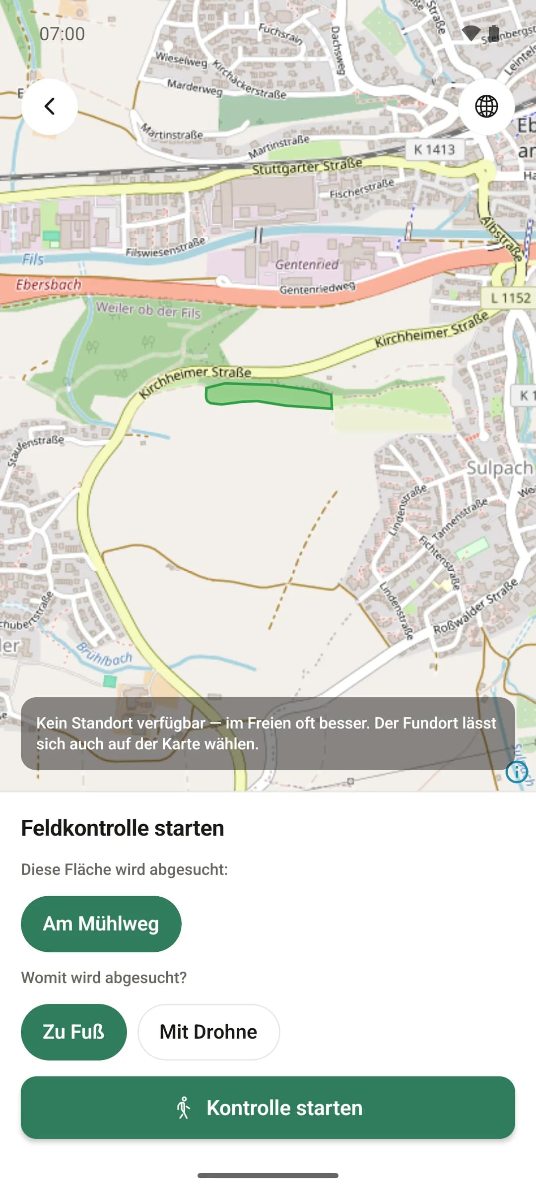
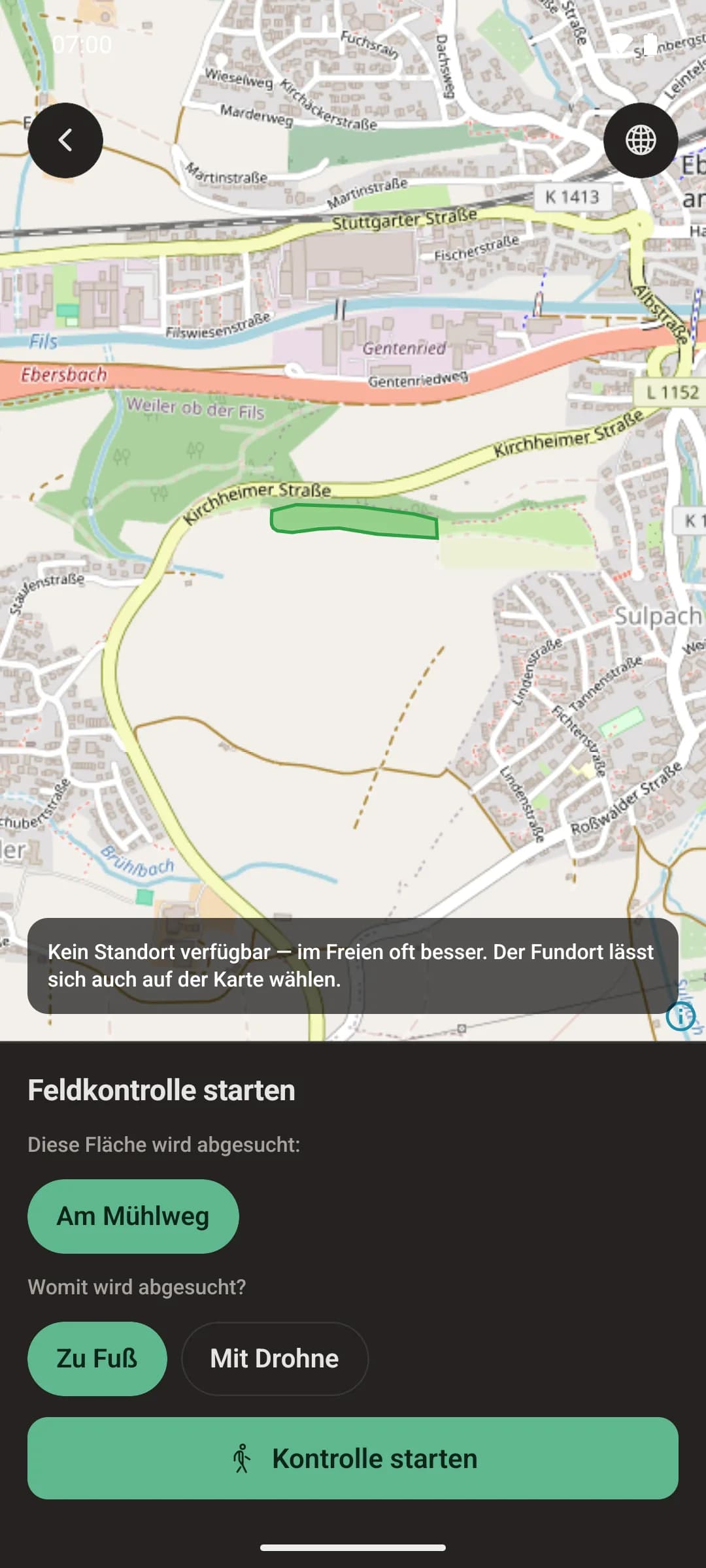
At your desk you coordinate in the browser. Out in the field, the app guides every member through the operation — and reports back to you what actually happened.
- Acceptances, searches and finds reach you without having to chase anyone
- The GPS proof of the search is created along the way — the basis for your impact report
- New members find their way too: one screen per step
Available for Android and iPhone
How to bring your association onto the platform
Getting started is deliberately simple — the first mowing can be set up in a few minutes.
- Step 1
Register your association
Your association or local group gets its own, cleanly separated area.
- Step 2
Invite members
Rescuers set their profile, operating radius and availability — so matching can find them.
- Step 3
Bring farmers on board
Farmers enter their fields and report mowings — free for them, with no hurdles.
- Step 4
Run and review the season
Operations are documented as they happen, the statistics build up along the way — ready for your general meeting and funding application.
Join in or fund it yourselves
WildRescue is licensed once per district. For your association that means: either someone else in the district pays — then you’re in for free. Or you take on the funding yourselves.
Someone in the district already pays
If the district hunting association, the district farmers’ association or the district authority holds the licence, your association works in its own area — no costs, no contract of your own.
Your association becomes the funding body
You work across municipal boundaries? One annual price for your area, and all farmers, helpers and hunters use it for free. Funding often covers the first year.
Pricing and funding →You want to win over partners in the district
Want the district hunting association, the district farmers’ association or the district authority to share the cost? We provide a quote and a briefing paper and, if you like, come along to present it.
For associations & districts →All the features for running your association
From coordinating operations to the impact report — see the full range of features or get started right away.
- Servers in Germany
- GPS record of every search
- Works offline in the field
- GDPR-compliant
Frequently asked questions
You’ll find more answers on the FAQ page.
In practical terms, yes. There too, the fields come from official sources — in Austria the field plots from the annual farm subsidy application (Mehrfachantrag), in Switzerland the land-use areas from the agricultural data survey — and municipalities in both countries can be activated as operation areas. Everything else — mowing reports, search lines, GPS proof, drone — isn’t tied to any one country anyway. The only open question is who funds the platform there: so far our model is based on German districts. Get in touch and we’ll work it out for your region.
Yes. Each paying organisation — association, district hunting association or district farmers’ association — sets its own rates. The app suggests the mileage from the journey, and a traffic light keeps an eye on the volunteer allowance limit and the annual budget. At the end of the season there is a SEPA bulk transfer and a DATEV posting batch for the treasurer. Anyone who wishes can donate their amount back and receive a donation receipt.
Yes, for the roe deer marking project of the Baden-Württemberg Wildlife Research Unit in Aulendorf. Number, colour and ear are recorded when the fawn is secured, and the marking list for the research unit is created from that — nobody types up paper lists in the autumn.
Yes, on both — on Google Play, and since 19 September on the App Store too. The app is free and ad-free. At your desk, carry on in the browser with the same account.
No — that is exactly what WildRescue is built for. A farmer needs to do three things: tap the field, pick the date, send. The platform takes care of everything else (inviting helpers, keeping people informed, documenting).
The app keeps working offline: GPS tracks, find reports, rescues and completed checks are saved on the phone and sent automatically as soon as there is a connection again — exactly once, with no duplicates.
On servers in Germany. Other people’s contact details are only visible if you actually share an operation with them. Everyone can export all of their data and have their account properly deleted.
Yes. WildRescue supports multiple organisations: your association or local group gets its own, cleanly separated area with its own members, fields and reports.
No. WildRescue also works without a drone — with search lines on foot and GPS-documented searches. If you have a drone with thermal imaging, its finds go straight onto the operation map.
We are working on it, and it is already flying on the test bench: the platform plans the flight, sends it to the drone and analyses the thermal image while it flies — possible finds appear on the operation map instead of on a computer in the evening. It is not switched on yet, and we are deliberately not giving a date. The pilot remains responsible for the flight in any case; EU drone rules apply unchanged. If you would like to be among the first to fly with it, write to us.
Nothing for farmers, fawn rescuers and hunters. The platform is paid for once per district — usually by an association: a rescue group, the district hunting association or the district farmers’ association, or by the district authority. We agree the annual price with the funding body; trying it out and setting it up cost nothing.
Often, yes. Digitalisation programmes for volunteering (for example from the German Foundation for Engagement and Volunteering or the German federal states), hunting levy funds, local authority grants for associations and regional foundations subsidise software and training for non-profit associations. We are happy to give you a written quote for your application.
With figures and a ready-made quote. We provide a written quote with the annual price and a briefing paper you can present to the board of the district hunting association, the district farmers’ association or the district authority — and, if you like, we will present the platform there in person.
The farmer reports the mowing date, fawn rescuers search the field, hunters are informed about dates on their own ground and report sightings, and the association organises and evaluates. Everyone sees the same picture — and each role only sees what concerns it.
Drones with thermal imaging fall under the EU drone rules: registration as an operator and, depending on the drone, a certificate of competency for the pilot. WildRescue does not replace any permit — the platform helps you plan flights and document finds properly. Your association or the responsible aviation authority knows what applies locally.
Register your association or local group, invite members, and farmers draw their fields on the map — the first mowing is set up in a few minutes. If you like, we will guide you through setup, training and data migration in person.
Get your association on the same page
Take a look at the association view — or talk to us about funding the platform for your area.
No credit card needed · cancel any time · personal support